UAV mission management platform
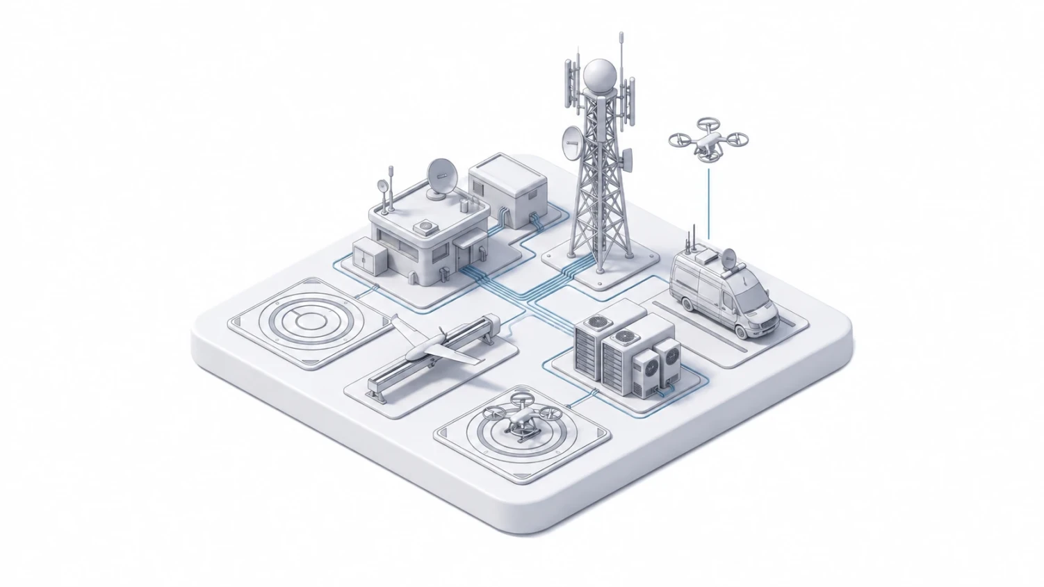
The UAV Mission Management system runs a fleet of unmanned aircraft systems so that requests from government and quasi-public organizations are handled quickly. It delivers photo and video records of sites, orthophoto maps, 3D infrastructure models, thermal and multispectral imagery, georeferenced data layers and more, helping teams monitor critical infrastructure, control territories, respond to emergencies and coordinate interagency work faster and better.
Features of the UAV Mission Management software: - Receiving and validating UAV mission requests; - Drawing up flight tasks based on incoming requests; - Logging completed flights under each flight task; - Monitoring flights on an interactive map; - Keeping a registry of unmanned aircraft systems and payloads with their current status; - Recording completed equipment maintenance; - Keeping a list of operational staff: UAS dispatcher, UAS operator; - Tracking spare parts and managing purchase requests for materials and equipment; - Generating reports that summarize workflow metrics for a period.